Reston residents can now track affordable housing projects alongside zoning, parks and transportation data in their neighborhood.
Fairfax County refreshed its Reston Snapshots online tool on Wednesday, allowing residents to track development projects and affordable housing in their vicinity.
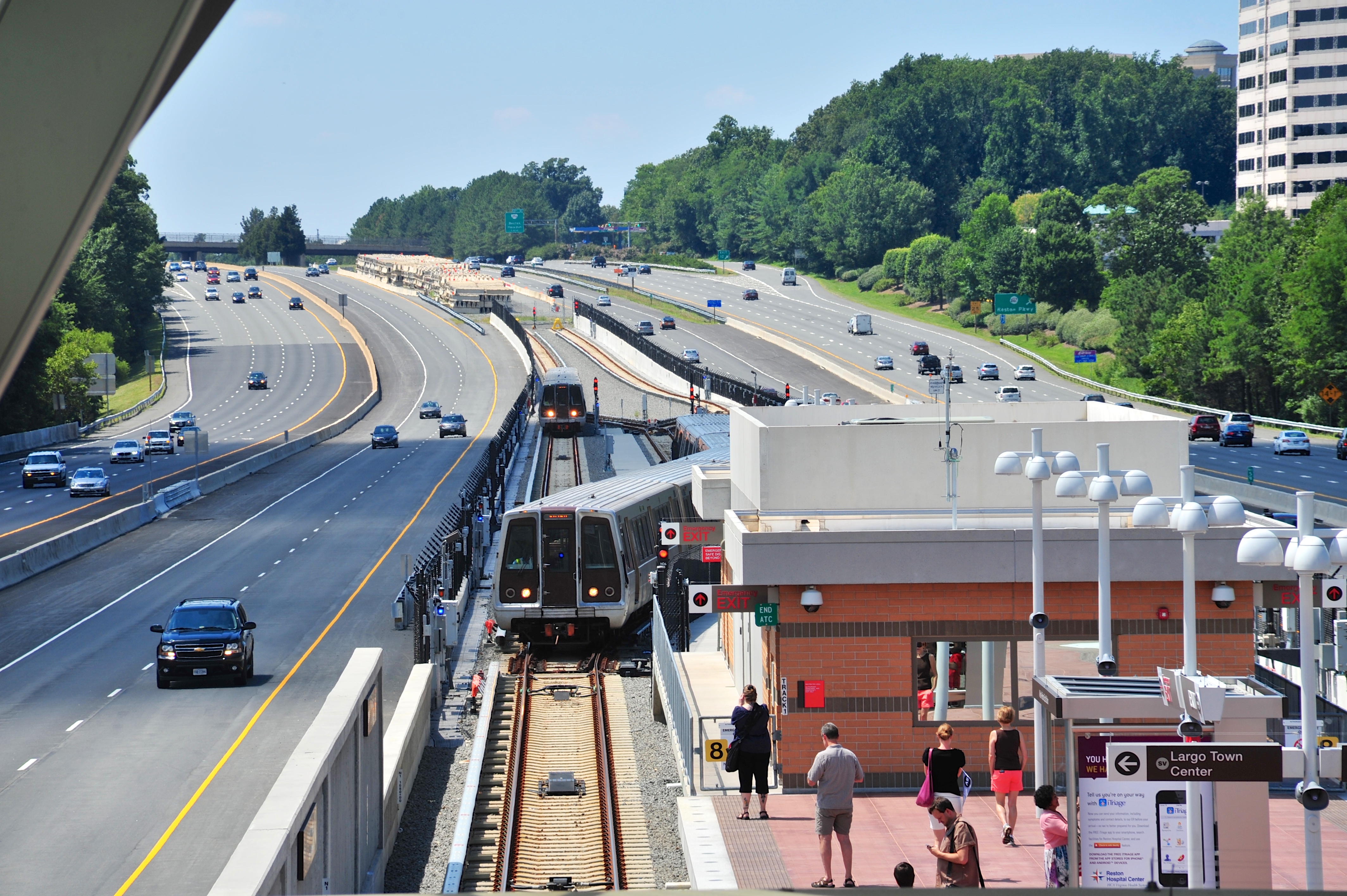
The biggest addition is a new Affordable Housing Hub that shows where subsidized units are planned or under construction near the Silver Line's two Reston Metro stations. The tool covers the Transit Station Areas around Wiehle-Reston East and Reston Town Center, where large-scale mixed-use projects are reshaping the corridor.
Fairfax County announced that the tool has been updated with new data layers covering affordable housing, development activity, land use, transportation and parks. The update also provides clearer map views of approved projects, according to the county's news release.
What the tool tracks
Reston Snapshots is a free, map-based dashboard displaying development activity, land use changes, transportation infrastructure, parks and zoning across Reston's transit station areas. The county built it to show how the Reston Comprehensive Plan, last updated in May, is being carried out on the ground.
The tool puts approved projects on a single interactive map. That includes proposals like Reston Crossing, a 3.1-million-square-foot mixed-use development near the Reston Town Center Metro station, and a 158-home project on Samuel Morse Drive near Wiehle-Reston East.
Why the housing hub matters
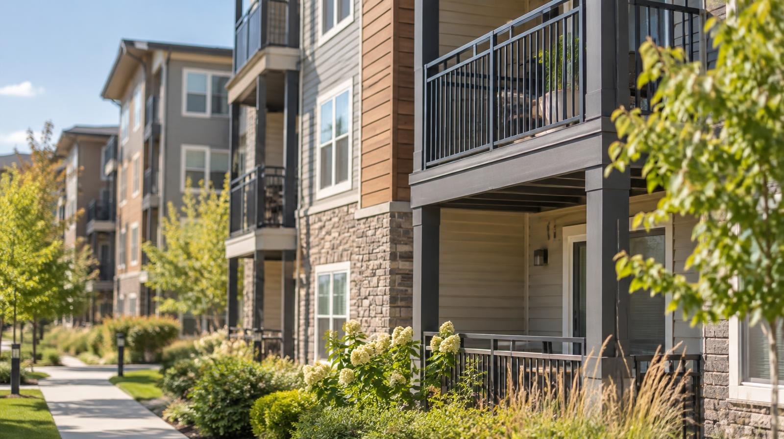
The Fairfax County Redevelopment and Housing Authority has set a goal of creating 10,000 new affordable housing units countywide by 2034. In Reston, one project already in the pipeline is the Crescent Apartments redevelopment, a 188-unit garden-style complex near Lake Anne Village Center. That project is in the predevelopment and feasibility stage, according to the county's housing department.
The new hub consolidates housing data alongside transit and zoning information, giving residents a single place to see how affordable units relate to Metro access and commercial centers.
How to access it
Residents can find the updated tool at fairfaxcounty.gov/news/new-land-use-and-development-data-released-reston-snapshots. No login is required.
The county has not announced a schedule for future data refreshes or a public comment period tied to the update.



%20(1).webp)